AgroScan Future Work
This is just the beginning. Below you’ll find an overview of the next features we want to bring to you, on the website and in the underlying technology.
What’s coming to the product
These ideas focus on day-to-day usability, better guidance, and community. They’re written as a preview. The exact UX and implementation details will evolve.
1. Community forum
Connect with fellow farmers on their sustainable farming journey: profile + interest-based groups + direct messages, and a place to propose new AgroScan ideas.

2. Chatbot recommendations
A chatbot for sustainable soil management practice recommendations, trained on academic knowledge and local farmer experience, including guidance on techniques, incentives, and carbon-credit ideas.
3. Baseline / historic analysis
Select your field and a time period, then automatically run historic quarterly analyses and summarize them in a simple line chart to establish a baseline.
4. Track your progress
Set SOC goals, track progress over time, and add a bit of fun via light gamification to stay motivated.
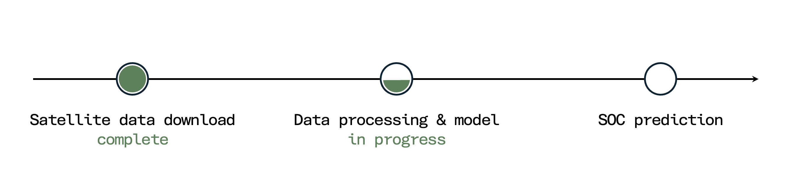
5. Updating loading page
A loading page that shows exactly which step the pipeline is currently running, so waiting feels transparent and predictable.
Model improvement roadmap
In parallel, we want to improve the model and extend the scope of what we can estimate from remote sensing and local input.
1. Improve ML prediction
Key areas for improving the SOC prediction model:
- Accuracy — reduce prediction error through better features, model tuning, and validation on held-out fields.
- Generalizability — ensure reliable estimates across regions, soil types, and land-use conditions beyond the current training distribution.
- Uncertainty estimation — quantify and communicate prediction uncertainty so users can judge how much to trust a result.
- Data foundation — expand and diversify the training dataset (e.g. LUCAS 2022, neighboring EU countries) beyond the current n=270 samples.
2. Enlarge feature input
Beyond Sentinel-2: include Sentinel-1, weather, and elevation data to improve accuracy.
3. Integrate local input
Bridge remote sensing and local knowledge: upload a soil photo, add measurements, and specify soil type.
4. Predict more soil characteristics
Extend beyond SOC: soil moisture, pH value, and additional nutrient levels to support targeted irrigation and variable-rate fertilization.
5. Improve resolution
Reduce grid size from 60×60 m to 10×10 m to capture within-field SOC variability in more detail.
Last but not least: if you’re missing a feature, tell us in the GitHub repository or later in the community forum’s “AgroScan Development” group.